
Hampden County ZIP Coverage
Hampden County has 23 municipalities, but its postal geography also uses neighborhood names, PO Box assignments, unique-organization ZIPs, and edge ZIPs shared with nearby areas. The inventory below is a practical county coverage list from the research, not an official county boundary file. The Post Office column preserves the USPS place label available in the inventory. It does not identify a delivery station or establish a municipal line. Verify a particular address through USPS before relying on a postal directory entry.
| ZIP | Areas covered | Post Office | Notes |
|---|---|---|---|
| 01001 | Agawam | USPS place: Agawam | Standard delivery |
| 01008 | Blandford | USPS place: Blandford | Standard delivery |
| 01009 | Bondsville, Palmer-area context | USPS place: Bondsville | PO Box or place-label context |
| 01010 | Brimfield | USPS place: Brimfield | Standard delivery |
| 01011 | Chester | USPS place: Chester | Standard delivery |
| 01013, 01014, 01020, 01021, 01022 | Chicopee | USPS place: Chicopee | Mix of standard and PO Box ZIPs |
| 01028 | East Longmeadow | USPS place: East Longmeadow | Standard delivery |
| 01030 | Feeding Hills, Agawam | USPS place: Feeding Hills | Postal place, not a separate municipality |
| 01034 | Granville | USPS place: Granville | Standard delivery |
| 01036 | Hampden | USPS place: Hampden | Standard delivery |
| 01040, 01041 | Holyoke | USPS place: Holyoke | Standard and PO Box context |
| 01050 | Huntington edge or partial area | USPS place: Huntington | Verify address and county polygon |
| 01056 | Ludlow | USPS place: Ludlow | Standard delivery |
| 01057 | Monson | USPS place: Monson | Standard delivery |
| 01069 | Palmer | USPS place: Palmer | Standard delivery |
| 01071 | Russell | USPS place: Russell | Standard delivery |
| 01077 | Southwick | USPS place: Southwick | Standard delivery |
| 01079, 01080 | Thorndike and Three Rivers, Palmer | USPS places: Thorndike, Three Rivers | Palmer postal-place context |
| 01081 | Wales | USPS place: Wales | Standard delivery |
| 01082 | Ware edge or partial area | USPS place: Ware | Verify address and county polygon |
| 01085, 01086 | Westfield | USPS place: Westfield | Standard and PO Box context |
| 01089, 01090 | West Springfield | USPS place: West Springfield | Standard and PO Box context |
| 01095 | Wilbraham | USPS place: Wilbraham | Standard delivery |
| 01097 | Woronoco, Russell | USPS place: Woronoco | Russell postal place, PO Box context |
| 01101, 01102, 01115, 01138, 01139 | Springfield | USPS place: Springfield | PO Box context |
| 01103, 01104, 01105, 01107, 01108, 01109, 01118, 01119, 01128, 01129, 01144, 01151, 01152 | Springfield | USPS place: Springfield | Standard delivery ZIPs |
| 01106, 01116 | Longmeadow | USPS place: Longmeadow | Standard and PO Box context |
| 01111 | Springfield | USPS place: Springfield | Unique or organization context |
| 01199 | Springfield, Baystate Medical context | USPS place: Springfield | Unique-organization ZIP |
| 01521 | Holland | USPS place: Holland | Standard delivery |
Keep the ZIP, postal place, municipality, and ZIP type as separate fields. The county list treats Feeding Hills as part of Agawam, Indian Orchard as a Springfield neighborhood and ZIP place, Thorndike and Three Rivers as Palmer postal places, and Woronoco as a Russell postal place. A ZIP match alone is not proof of town, parcel, or household location.
Note: No authoritative county-curated ZIP population, post-office-station, or exact polygon-membership table was located in the research.
USPS Hampden ZIP Verification
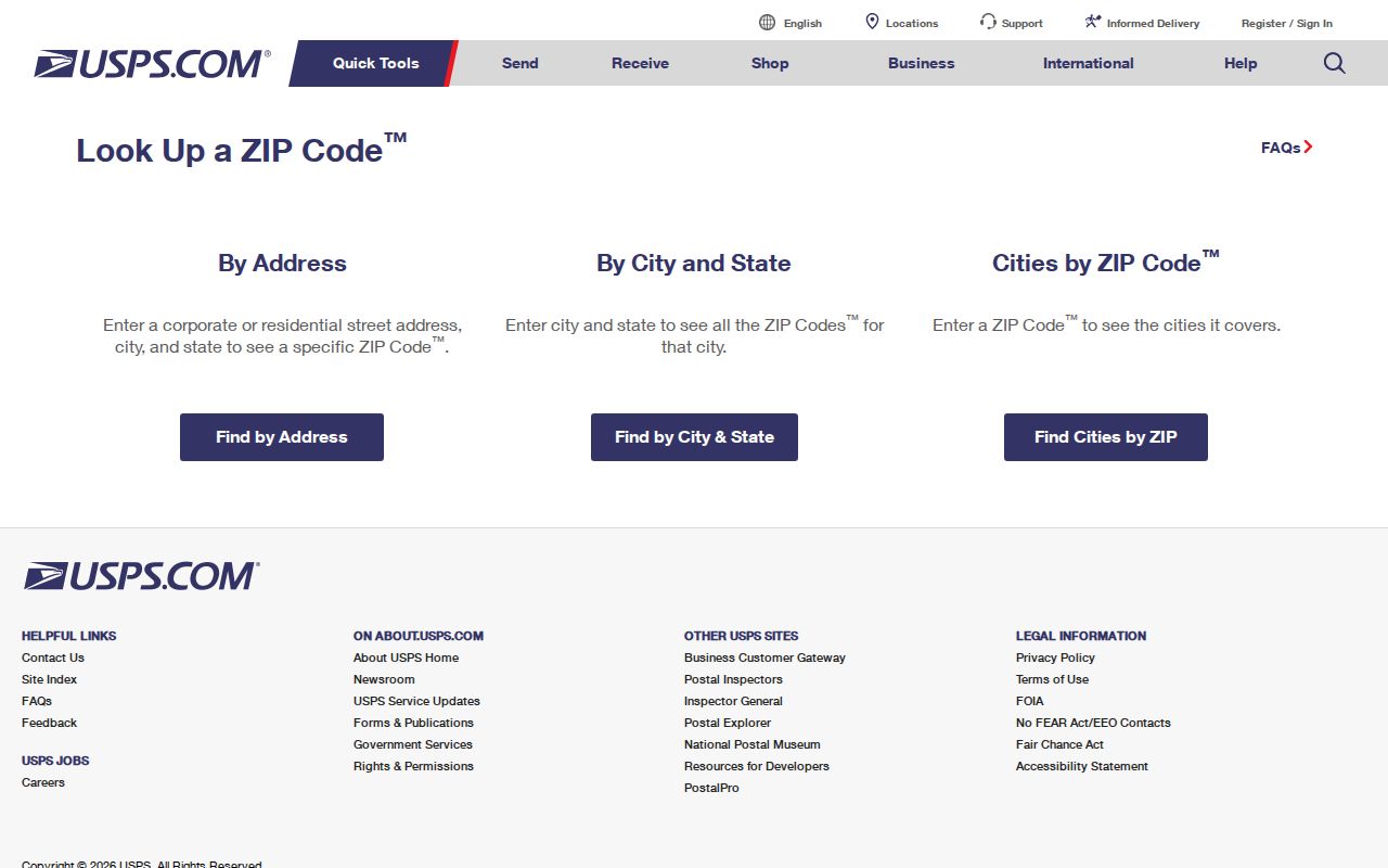
USPS postal lookup is the first check for a full mailing address. It has three relevant modes: By Address, By City and State, and Cities by ZIP Code. USPS validates the relationship between a mailing address, postal place, and ZIP. It does not establish county membership, parcel ownership, or legal municipal boundaries. Use it before a name or address search so a record is not routed to the wrong postal label.
| USPS mode | What to enter | Best use |
|---|---|---|
| By Address | Street address, city, and state | Confirm the ZIP assigned to one delivery address |
| By City and State | City and state | See ZIP choices associated with a postal place |
| Cities by ZIP Code | Five-digit ZIP | Check the postal place label tied to a ZIP |
The official lookup’s search modes are visible on its source page.
Use the result as a postal check, then keep the assessor’s municipality and any Registry municipality code in their separate record fields.
Hampden ZIP Postal Place Traps
Postal names are useful but easy to overread. Feeding Hills is an Agawam postal place, not an independent municipality. Indian Orchard is a Springfield neighborhood and ZIP place. Thorndike and Three Rivers belong in Palmer context, while Woronoco belongs in Russell context. These labels may appear in an old directory, mailing address, or family paper even when the government record is filed under another municipality.
ZIPs 01050 and 01082 need extra care because the research marks them as edge or partial-area cases. A complete address should be checked through USPS and then against the municipal assessor, GIS, or the MassGIS layer. Do not convert an old postal label to a different town without retaining the source spelling.
MassGIS Hampden ZIP Layers
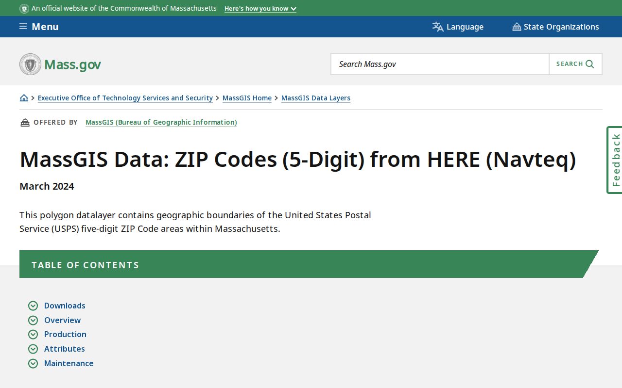
The MassGIS five-digit ZIP layer is a map and query aid. It is based on 2018 HERE material plus recent USPS source information. Its ZIP assignments use address points rather than continuous, legally fixed spaces, and the layer is not a Census ZCTA product. ZIP areas can overlap municipal boundaries, so it is useful for comparison but not a substitute for a deed, survey, or the municipal assessor.
| MassGIS field | Research use |
|---|---|
| POSTCODE | The five-digit postal code in the layer |
| PC_NAME and PC_TYPE | Postal-place label and type, including non-unique, PO Box, or unique organization |
| CITY_TOWN and COUNTY | Fields to compare with the municipal and county context of an address |
| AREA_SQMI | A layer attribute, not a statement about one town’s legal area |
The MassGIS data page shows the ZIP-type and boundary caveats behind the map layer.
Compare map fields with a verified address rather than assuming a colored polygon represents every delivery point or a legal line.
Hampden ZIP Parcel Crosswalk
When a ZIP points toward an address, move from postal data to local property data. Springfield GIS accepts an address or street through typeahead and can open parcel details. Springfield Assessor Search accepts Parcel # or Street, and a street-only query can browse matching addresses. These tools are municipal examples, not a single countywide parcel roll. The other Hampden municipalities maintain their own assessor offices and sources.
- Verify the mailing address and ZIP with USPS, preserving the postal place that USPS returns.
- Check the municipal assessor or GIS for the situs address, parcel ID, and municipality. Keep situs and owner mailing fields separate.
- For title questions, use the Hampden Registry’s municipality and recorded-instrument trail. A deed image is a recorded document, not current occupancy proof.
- Record the ZIP, municipality, source date, and retrieval date together so the crosswalk can be checked later.
Once an address is narrowed, the Hampden County By Street directory has the fuller street-level workflow. A parcel system can locate a property, but it does not supply a complete resident list for a ZIP.
Note: Mailing address, situs, legal description, and historical occupant address can differ even for the same property.
Hampden ZIP Search Limits
Neither the Springfield Assessor nor the Massachusetts voter-status lookup supplies a verified ZIP-wide person search. The assessor’s documented fields are Parcel # and Street. The voter tool needs an individual’s first name, last name, date of birth, and residential ZIP for a personal status check. It is not a public roster, and its live result fields were not captured in the research. MassGIS can support map comparison or data work, but it is not a person index.
A postal directory is therefore a routing tool. It helps choose the right postal syntax, municipality, assessor, GIS viewer, or historical collection. It cannot establish who receives mail at every address, who currently occupies a property, or whether a mailing address and residence address are the same.
Hampden ZIP Boundaries and Cities
Hampden County record searches should preserve both municipality and postal place. The Registry serves deeds for the county’s municipalities using its own municipality codes. Springfield’s GIS also has a neighborhood layer for 17 named neighborhoods. A neighborhood, a ward, a postal label, and a city or town can all describe the same general area without being interchangeable record fields.
For an older address, retain directionals, street suffixes, unit numbers, old spellings, and the source municipality. A city directory or census entry can carry an older postal label that must be compared with a modern ZIP rather than silently rewritten. This is especially important around postal-place labels and edge ZIPs.
Hampden ZIP Code Directory Terms
Postal vocabulary makes the limits of a ZIP search clearer. The same code can support mailing, map, and historic-address research, but each use needs a different source and date.
- ZIP and ZIP+4
- The five-digit ZIP identifies a postal routing area. ZIP+4 adds a more specific delivery segment and does not create a municipal boundary.
- PO Box ZIP
- A code used for PO Box service or postal context. It should not be treated as a household location.
- Unique organization ZIP
- A ZIP associated with an organization or institution, such as the 01199 Springfield context in the research.
- Carrier route
- A postal delivery grouping. It is not a public list of people who receive mail in that route.
Cite Each Hampden ZIP Result
Postal and map data changes. Save the full address query, USPS result date, ZIP, postal place, municipal assessor or GIS source, MassGIS layer vintage, and the exact field or parcel used. MassGIS data is updated in cycles and municipal assessor information remains the current source for local assessment details. A later source may change without proving that a person moved or that title changed.
Use a town clerk, municipal assessor, local library, or the record custodian when a current online source cannot resolve the address. That keeps the postal directory focused on postal geography while the underlying local record stays with its proper office.